
A Lincoln Highway Driving Tour Through Somerset County
Travel time: 4-6 hours (depending on how much time is spent at each location)
Travel Distance: Approximately 25 miles
The Lincoln Highway twists, turns and climbs as it winds through the Allegheny Mountains on the Laurel Ridge through Somerset County. On this stretch of the Lincoln Highway, you’ll find some of the most spectacular views and vantage points that route through Pennsylvania has to offer.
- Begin your trip along Route 30 at the westernmost end of Somerset County driving east. As you come into Jennerstown, you will see 1806 UNIQUES AND ANTIQUES on the left. This historic-looking building offers a variety of objects and antiquities for sale. For buyers and browsers alike, this is a lovely spot to look around.
- As you approach the stoplight in Jennerstown, quality entertainment is available everywhere you turn! Turning left (north) at the stoplight onto Somerset Pike for 1/2 mile will bring you to the MOUNTAIN PLAYHOUSE on the right side of the road. Housed in an old gristmill, the MOUNTAIN PLAYHOUSE features live theatre throughout the year.
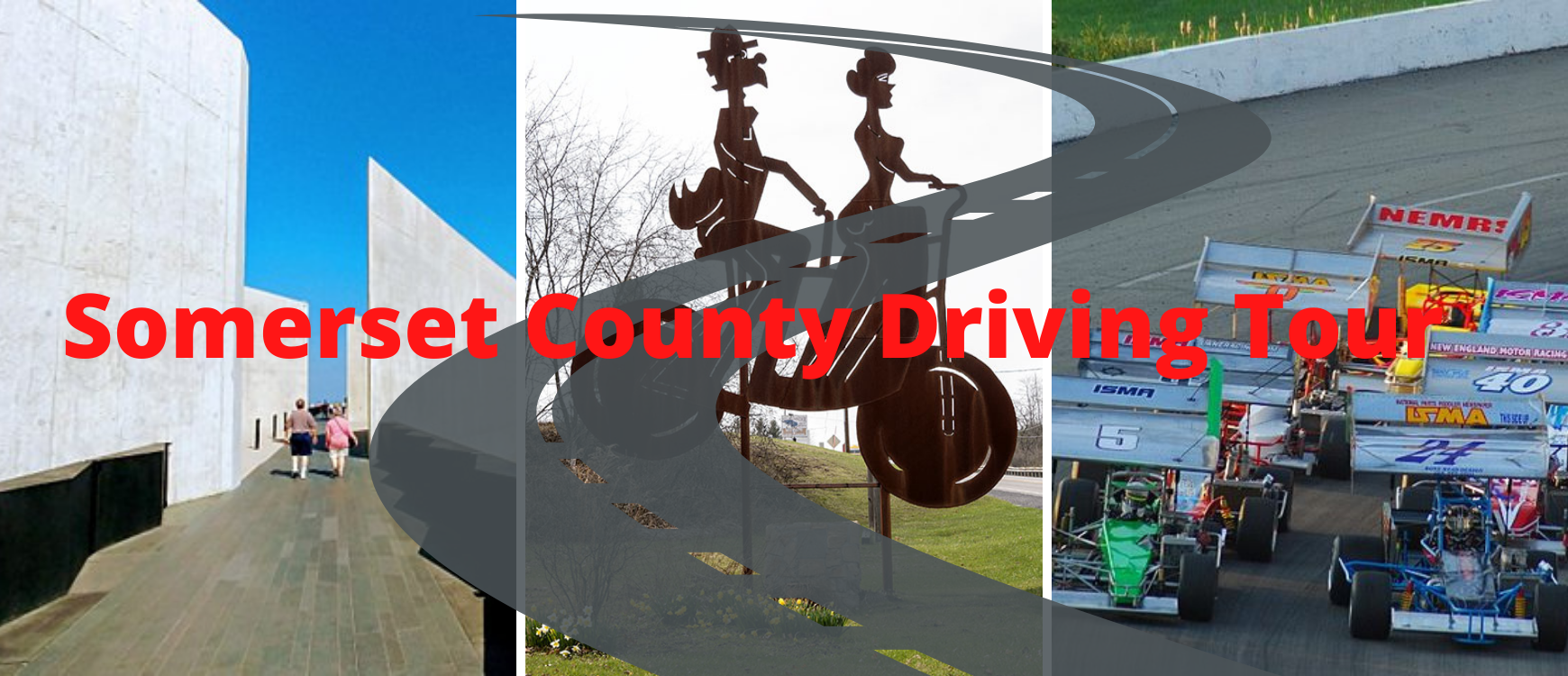
- Turning right at the stoplight in Jennerstown onto Somerset Pike will take you past the JENNERSTOWN SPEEDWAY, which provides Saturday evening racing entertainment from May-September, each featuring 5 divisions of racing.
- If you continue south on Somerset Pike for approximately 7 miles, the SOMERSET HISTORICAL and nearby WALTER'S MILL COVERED BRIDGE can be found on the right side of the road. Historic farmsteads are just one example of the fascinating historical features to be seen here.
- Retrace your steps to Jennerstown via Somerset Pike (driving north) and turn right onto Route 30 East at the stoplight. Continue on Route 30 East for approximately 3 miles. Just before the junction with Route 219, pull over to the right at SECOND TIME AROUND thrift store to take a picture with the Roadside Giant, BICYCLE BUILT FOR TWO. This Roadside Giant was designed and built by students of the Somerset County Technology Center.
- Continue on Route 30 East for approximately 4 miles, then take a slight left turn onto W. Main St. toward Stoystown. In about a mile, stop on the left to read about the HITE HOUSE, the principle hotel for thousands of travelers between Bedford and Greensburg during the 1930s. Be sure to also take a picture with the STOYSTOWN MURAL on the building adjacent. Then, continue west on Main St. for 0.5 mile and continue onto Route 30 East.
- In approximately [miles], turn right onto Lambertsville Road and continue for [miles]. Then, turn right onto Covered Bridge Road to see the GLESSNER COVERED BRIDGE. Spend a few minutes at the bridge and take a few good pictures! Retrace your steps north to reconnect with Route 30 East.
- Once you get back on Route 30 East, continue for 1.5 miles, then turn right into the FLIGHT 93 NATIONAL MEMORIAL. Allow 2-3 Hours and plan to visit the Tower of Voices, tour the Visitor Center, and pay homage to our fallen heroes at the Wall of Names located at the Memorial Plaza. Take some time to reflect as you stroll along one of the park’s many Memorial Trails located on the grounds.
- After leaving the FLIGHT 93 NATIONAL MEMORIAL, turn right to get back on Route 30 East. In approximately 1.5 miles, you'll see the THE LINCOLN CAFE and DUPPSTADT'S COUNTRY STORE on the right side of the road. THE LINCOLN CAFE is a great place to stop for a bite to eat, or to take pictures. DUPPSTADT'S old-fashioned general store offers plenty of local goods, food items, gifts and even a huge selection of western boots.
- After leaving the FLIGHT 93 MEMORIAL, continue on Route 30 East for approximately 7 miles. To complete your trip, stop in at ROUTE 30 ANTIQUES on the left just before the county line.